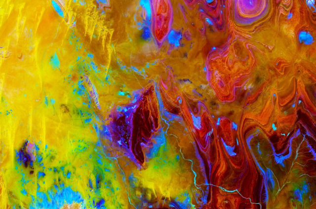
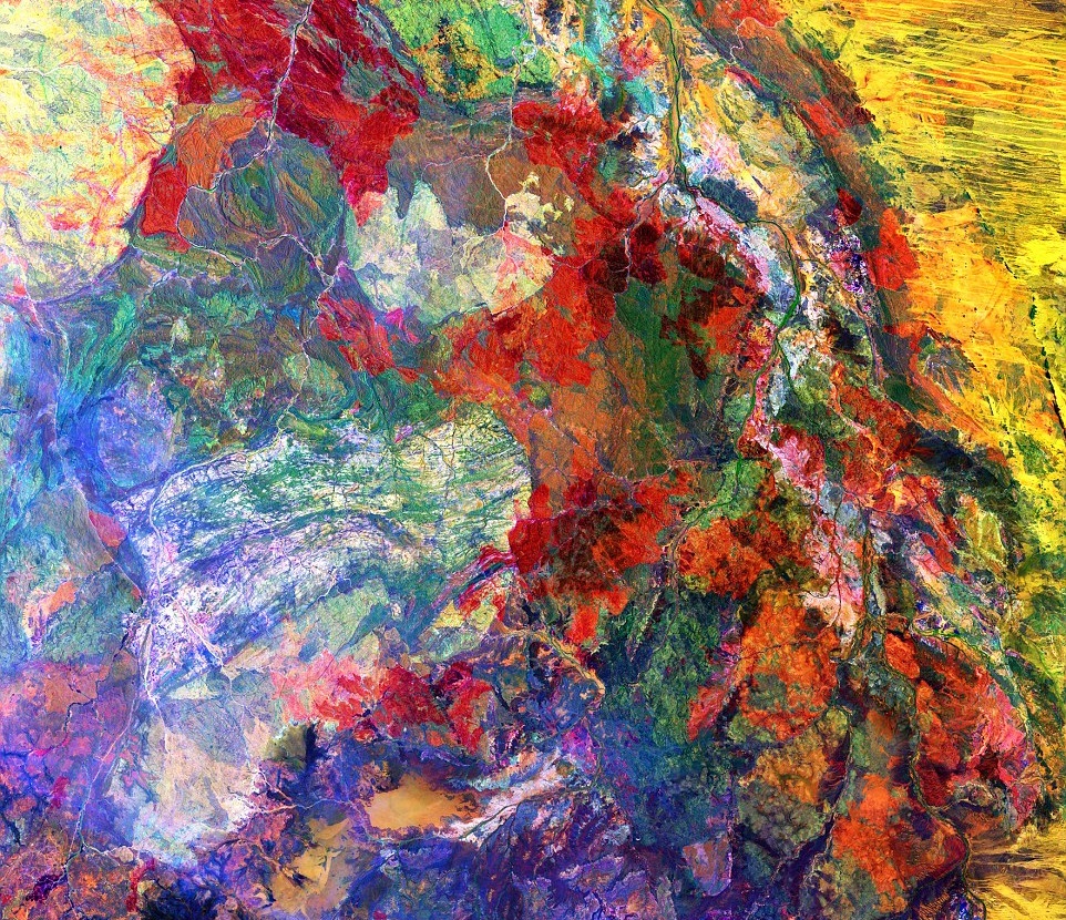
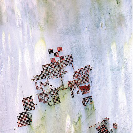
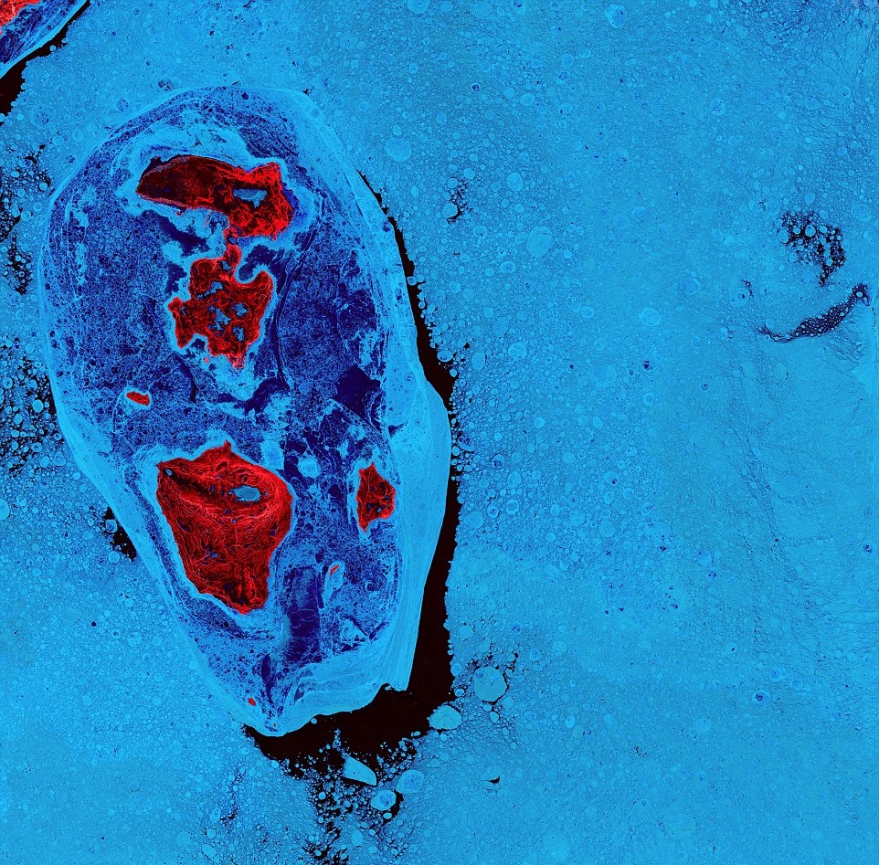
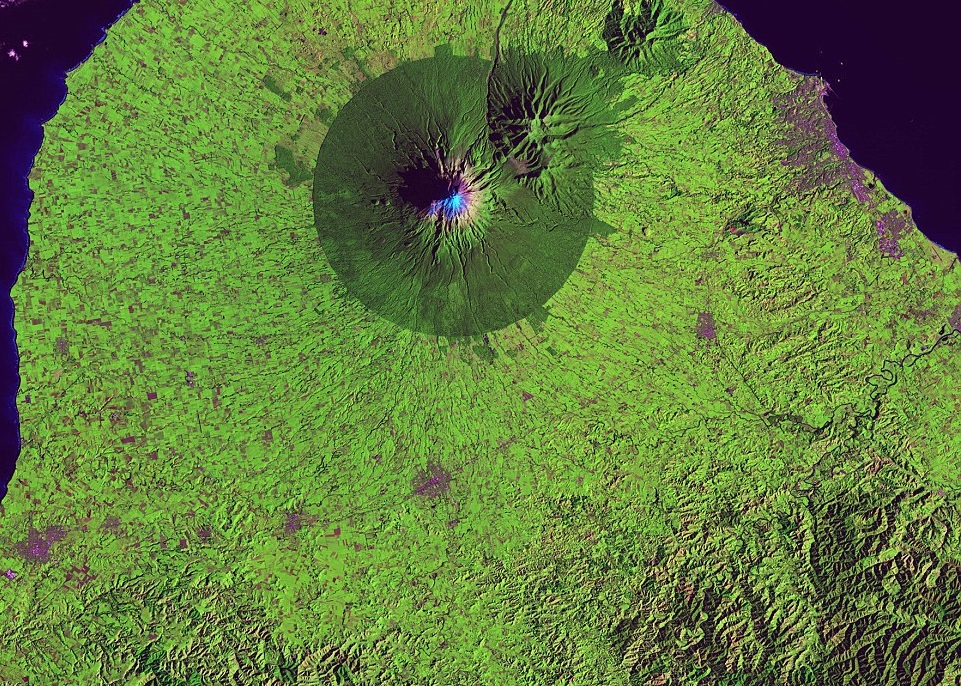
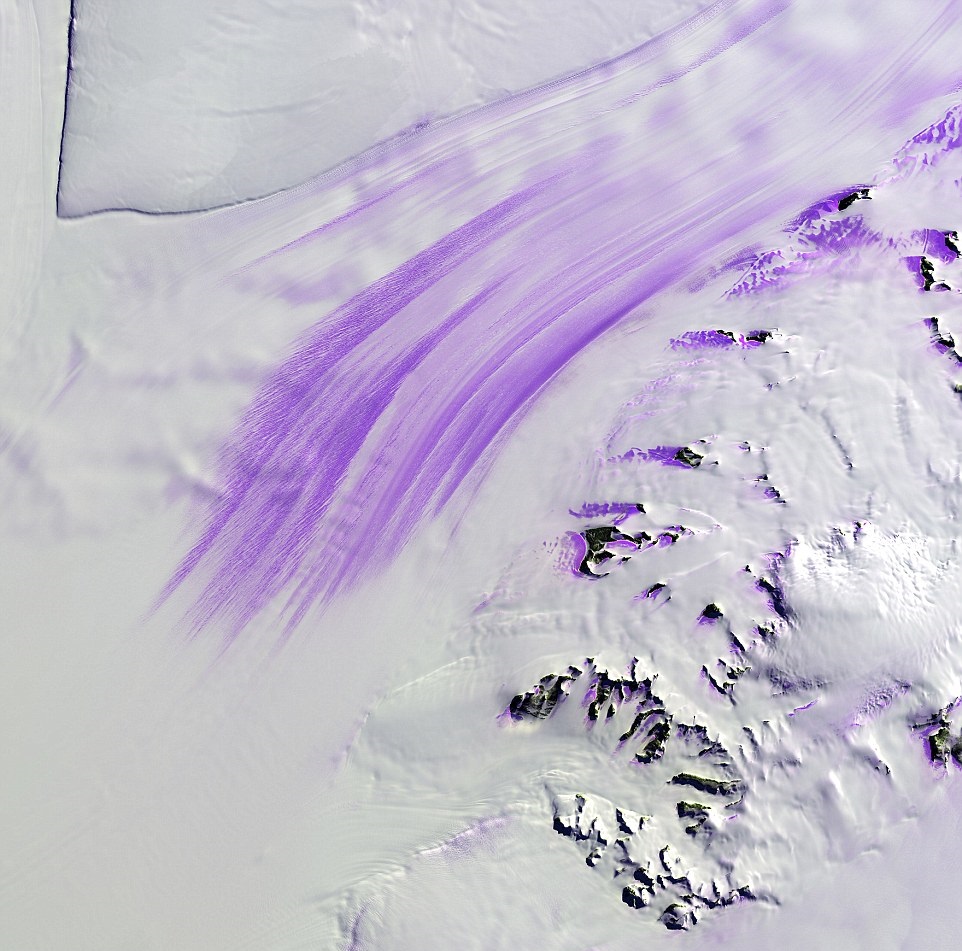
Gorgeous earth art

The USGS isn’t just a scientific organisation doing a lot of satellite imagery and remote sensing work. They show themselves to be artists as well. These images are absolutely gorgeous. Earth itself is gorgeous and there are many ways of looking at it. The way the USGS Landsat team are looking at it is definitely way out there. The way I use the same images to try to look underwater is a bit more mundane unfortunately. These are just some of the images. You can see more on the USGS website.

  • The sand dunes of the Sahara in the "Land of Terror," Tanezrouft Basin in Algeria. Landsat 8/USGS/NASA
  • "This enhanced image of Western Australia resembles a mixture of crayons that melted in the sun. The yellow sand dunes of the Great Sandy Desert cover the upper right portion of the image. Red splotches indicate burned areas from grass and forest fires, and the colors in the rest of the image depict different types of surface geology." - USGS
  • "Geometric shapes lie across the emptiness of the Sahara Desert in southern Egypt. Each point is a center pivot irrigation field a little less than 1 kilometer (0.6 miles) across. With no surface water in this region, wells pump underground water to rotating sprinklers from the huge Nubian Sandstone aquifer, which lies underneath the desert." - USGS
  • "The ice surrounding the northern Canadian Spicer Islands, shown in bright red, resembles a cell, complete with ribosomes, mitochondria, and a nucleus. Even though the image was captured shortly after the first day of summer in the Northern Hemisphere, the islands are locked in ice." - USGS
  • "A nearly perfect circle of forest delineates the boundary of Egmont National Park in New Zealand. Snow-capped Mount Taranaki marks the center of the park, which is surrounded by green farmland." - USGS
  • "Slessor Glacier in Antarctica flows between the angular promontory Parry Point on the top left of the image and the Shackleton Range on the lower right. The purple highlights are exposed ice. Strong winds blow away the snow cover and expose lines that indicate the glacier flow direction. Rock outcrops next to the glacier also exhibit some of this bare ice." - USGS